Vector / Reference documents
Legal & credits.
The practical terms, where your data lives, and the open sources and photographers who help make Vector possible.
01 / TERMS
Terms summary
Vector is a flight-simulation companion. Vector Bridge connects a supported simulator on your Windows PC to Vector on your other devices. Use both only for simulated flights.
Not for real-world navigation or aircraft operation. Vector’s maps, airport diagrams, weather, alerts, calculations and scores are not certified aviation information.
No warranty
Vector, Vector Bridge and their data are provided “as is” and “as available,” without warranties of accuracy, completeness, fitness for a particular purpose or uninterrupted operation, to the extent permitted by applicable law.
Simulator state, third-party services, network conditions and source-data coverage can affect what Vector displays. Information may be delayed, incomplete or incorrect.
Your responsibility
You are responsible for your device setup, simulator configuration and use of the software. Do not rely on Vector for safety-critical decisions. Nothing in this summary limits rights or protections that cannot be excluded under applicable law.
Free and optional Pro features
Vector’s core features are free. Pro is optional, at $0.99/month or $7.99/year. Review the billing period and purchase terms shown at checkout before subscribing.
02 / PRIVACY
Local-first, by design.
No account is needed for core use. During local use, your flight data stays on your PC and your paired iPad or iPhone. Vector Bridge sends simulator information to the devices you pair.
Pairing and stored tokens
Use the pairing code shown by Bridge to approve your device. Bridge stores pairing tokens in:
~/.vector-bridge/paired.json
The ~ represents the user’s home directory. On Windows, this is your Windows user profile folder. Pairing tokens allow approved devices to reconnect; treat this file as private and pair only devices you trust.
Optional cloud sync
Pro cloud sync is optional. Local-first privacy applies to core local use; enabling cloud sync transfers synced data off your PC or mobile device. Review the in-app cloud-sync privacy information before enabling it.
Connected services
If you use a third-party service such as SimBrief, that service’s own terms and privacy policy apply to the information you share with it. Opening external links also takes you to websites with their own policies.
This website
These static pages contain no analytics scripts, advertising trackers or account forms. They request Inter and JetBrains Mono from Google Fonts; your browser connects to Google to load those font files. The website host may also process ordinary request information, such as IP addresses, under its own policies.
03 / SOURCES
Data sources & licenses
Vector builds on open data. Source coverage and accuracy vary, and an airport diagram is not a certified aviation chart.
-
OpenStreetMap
Airport diagrams and map-derived airport geometry are drawn from OpenStreetMap.
© OpenStreetMap contributors. OpenStreetMap data is available under the Open Database License.
-
OurAirports
Airport reference data from OurAirports is released into the public domain.
-
Aviation Weather Center
Weather data from aviationweather.gov is public U.S. Government information. Availability and update timing depend on the source service.
Open-data licenses apply to their respective datasets. Attribution here does not imply that any source endorses Vector.
04 / PHOTOGRAPHY
A view worth crediting.
The following photographs are used via Wikimedia Commons. Each image remains subject to its listed license. Wikimedia links below locate the credited work by title.
-
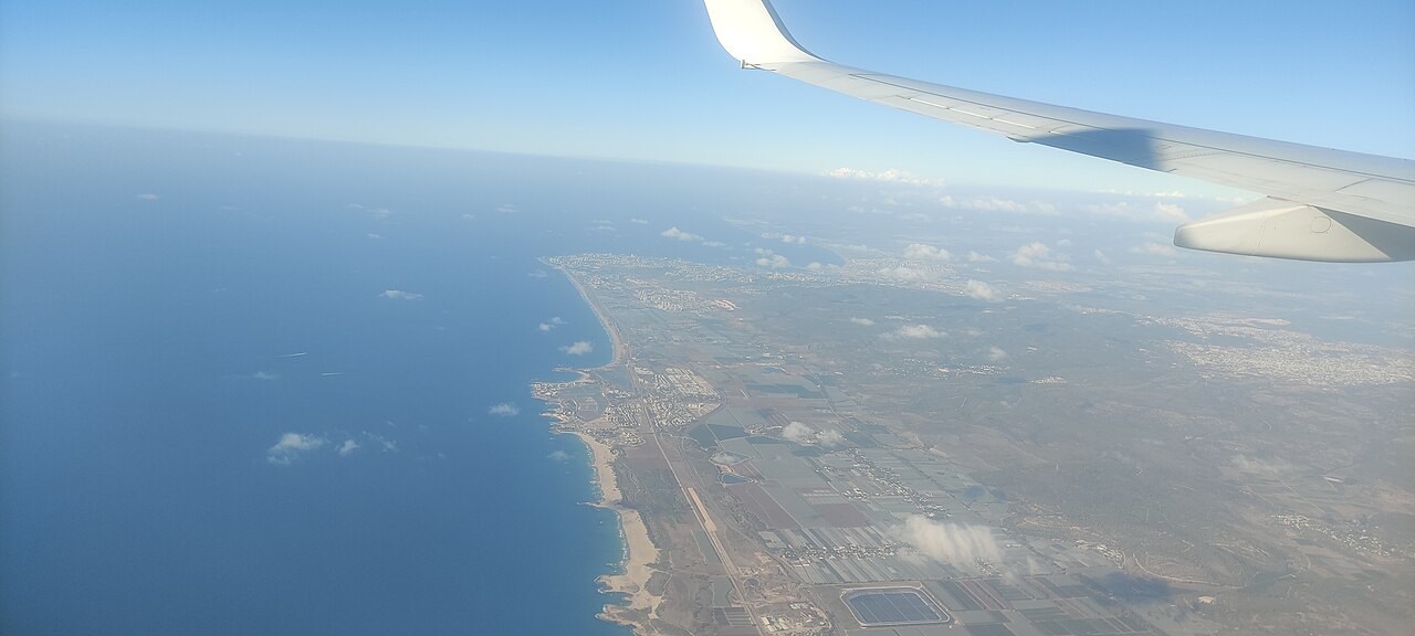
“Atlit and Haifa bay aerial”
Nizzan Cohen · CC BY 4.0
LOCAL FILE / img/coast.jpg
-
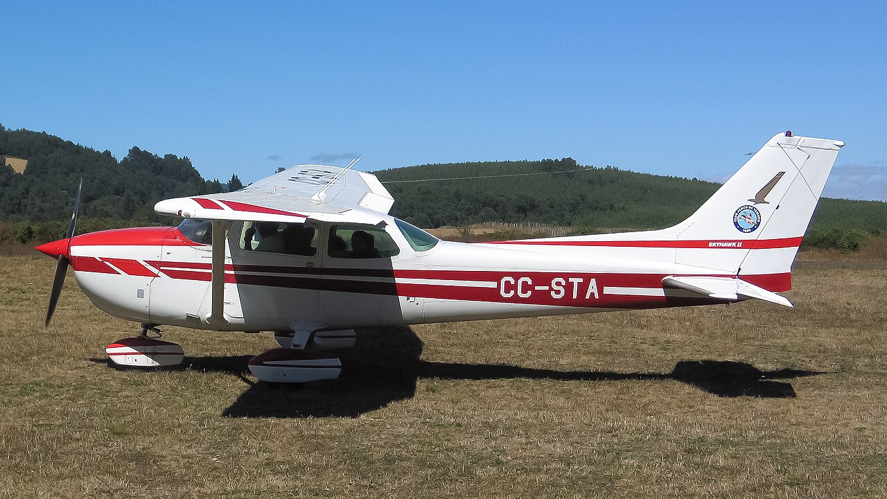
“CC-STA (Cessna 172 of the Temuco Air club)”
TRTPUWU · CC BY 4.0
LOCAL FILE / img/cessna.jpg
-

“Acropolis From the top”
Sfetkos · CC BY-SA 4.0
LOCAL FILE / img/athens.jpg
-

“In flight above scattered clouds”
Harry Knight · CC0
LOCAL FILE / img/clouds.jpg
Presentation and adaptations
Photos are cropped by the page layout and may appear with dark overlays. Any adaptations of “Acropolis From the top” are available under CC BY-SA 4.0. Photo licenses apply to those images and their adaptations, not to unrelated Vector content.
05 / TRADEMARKS
Independent, and along for the flight.
Microsoft Flight Simulator (MSFS), X-Plane, SimBrief, Navigraph, VATSIM, IVAO and BeyondATC are trademarks or registered trademarks of their respective owners.
Vector is not affiliated with, endorsed by, sponsored by or an official product of those organizations. Product and service names identify compatibility or provide context. The website’s compatibility tiles use text monograms, not third-party logos.